نقد و بررسی : نرم افزار نقشه برداری Pix4Dmapper Pro
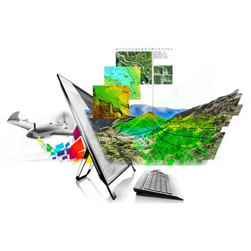
نرم افزار نقشه برداری Pix4Dmapper ساخت کمپانی سوئیس Pix4D یک نرم افزار فوق حرفه ای و پیشرفته فتوگرامتری مختص تهیه نقشه هوایی از تصاویر پهپادهای و فتوگرامتری نقشه برداری است.
این محصول شرکت Pix4D یک نرم افزار تصویر سنجی یا Photogrammetry بوده که برای ساخت نقشه های هوایی کاربرد دارد. مهم نیست عکس هوایی شما توسط پهباد گرفته شده یا حتی به صورت RGB، حرارتی و Multispectral باشد. فقط کافی است تا عکس های خود را وارد نرم افزار نموده و به آسانی به انجام عملیاتی نظیر دیجیتالی ساختن، کنترل تصاویر، اندازه گیری و بررسی و در نهایت اشتراک گذاری بپردازید. این نرم افزار نتایجی در حد تجهیزات نقشه برداری به شما می دهد؛ نتایج با دقت بالاتر از سانتی متر و تا 2 پیکسل در محور افقی و عمودی در GSD محاسبه می شوند. بسیاری از عملیات پیش فرض را برای پردازش خودکار شخصی سازی نموده و بر روی کیفیت دادهها و پروژههای خود کنترل کامل داشته باشید.
قابلیت های کلیدی نرم افزار Pix4Dmapper:
نرم افزار پیشتاز تصویر سنجی با هدف نقشه سازی
پشتیبانی از تصاویر هوایی، RGB، حرارتی و Multispectral
پشتیبانی از تصاویر 360 درجه و Fisheye
کنترل کامل جریان کاری پروژه از تصویر برداری تا نقشه سازی
ساخت تصاویر تمام رنگی نقطه ابری (Point Cloud)
ساخت تصاویر موزاییکی (Orthomosaic)
ساخت مدل های دیجیتالی از سطح (DSM)
ساخت مش های سه بعدی دارای بافت (Textured)
ساخت نقشه های Index (به اصطلاح GeoTiff)
ساخت نقشه های حرارتی
سازگاری با ویندوز های 10 و 11 مایکروسافت.
دانلود نرم افزار نقشه برداری Pix4Dmapper (لینک غیر مستقیم)
برای دانلود نسخه پیشرفته این نرم افزار هوشمند روی لینک کلیک کنید.
دانلود نرم افزار نقشه برداری Pix4Dmapper (لینک مستقیم)
برای خرید لایسنس حرفه ای آنلاین این محصول روی لینک کلیک کنید.
PIX4Dmapper The leading photogrammetry software for professional drone mapping
Pix4Dmapper Pro Software for Professional Drone-based Mapping
Photogrammetry solution to power applications across industries
Advanced data processing for precise results
Survey-grade results
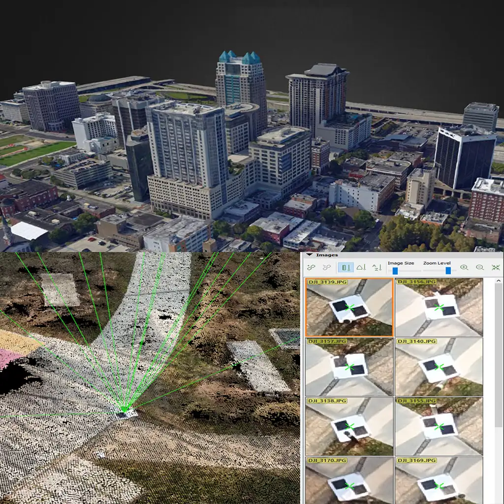
Obtain results with sub-centimetre accuracy thanks to photogrammetric analysis. 1-2 pixel GSD in X, Y directions 1-3 pixels GSD in the Z direction
Complete control over your project
Define an area of interest, select processing options, add ground control points or edit point clouds, DSMs, meshes, and orthomosaics.
Your workflow, your choice
Use default templates for automatic processing of your projects, or create your own with custom settings for full control over the data and quality.
Capture
Capture RGB, thermal, or multispectral images with any camera or drone and import them to PIX4Dmapper.
Digitize
PIX4Dmapper’s photogrammetry algorithms transform your ground or aerial images in digital maps and 3D models.
Seamlessly process your projects on your desktop using our photogrammetry software, or bundle with PIX4Dcloud for online processing.
Control
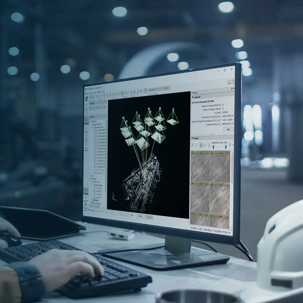
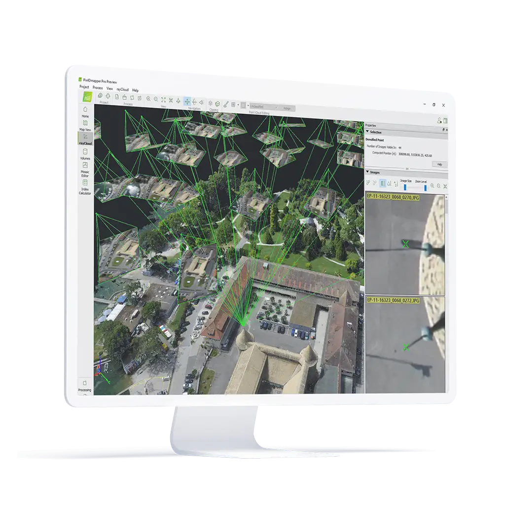
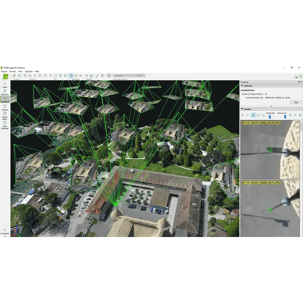
Use the power of photogrammetry in the rayCloud environment to assess, control and improve the quality of your projects.
Use the quality report to examine a preview of the generated results, calibration details, and many more project quality indicators.
Measure & inspect
Accurately measure distances, areas, and volumes.
Collaborate & share
Streamline project communication and teamwork.
Selectively and securely share project data and insights, with your team, clients, and suppliers, using standard file formats.
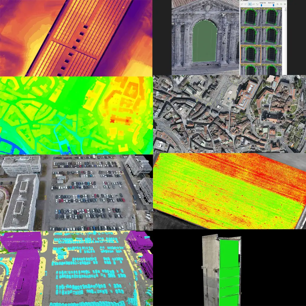
3D Point Cloud
Laser scanner quality 3D points from a consumer-grade camera. Clean from moving objects, aerial perspective with limited occlusions, and low acquisition time.
Volume Calculation
Pix4Dmapper Pro output calculated volumes on a perfect representation of your stockpile, with adjustable base height and detailed view for more precise measurements.
Orthomosaic
High resolution aerial map with corrected perspective, putting you in control of geographic data generation.
Contour Lines
Pix4Dmapper Pro generate contour lines for a simplified representation of topography, then export them for further work.
Digital Surface & Terrain Model
Accurate, georeference elavation map, ready for your preferred GIS workflow.
Thermal Map
Pix4Dmapper Pro has a radiometric accurate map displaying the temperature value of each pixel.
3D Textured Model
Full 3D triangular mesh with photorealistic texturing, perfect for sharing and online visualization.
Convert Images
Taken by drone, by hand, or by plane and delivers highly precise, georeferenced 2D maps and 3D models. They’re customizable, timely, and complement a wide range of applications and software.
| Desktop Processing | Unlimited (desktop+laptop) |
| Cloud Processing | Unlimited* |
| Flight Planning | Pix4Dcapture |
| Flythrough videos | |
| Orthomosaic | |
| Digital surface model (DSM) | |
| Digital terrain model (DTM) | |
| 3D point cloud | |
| 3D textured model | |
| 2D measurements | |
| 2D vectorization output | |
| Volume measurements | |
| Index maps (NDVI, etc.) | |
| Web sharing | |
| * based on fair usage, 15 projects/month of 150 images @ 15 MP. Conditions may change at any time. |
مشخصات فنی : Pix4Dmapper
| برند | |
|---|---|
| کشور سازنده | سوئیس |
برای نوشتن دیدگاه باید وارد بشوید.





دیدگاهی ثبت نشده.