نقد و بررسی : نرم افزار نقشه برداری MicroSurvey SurveyTools for BricsCAD
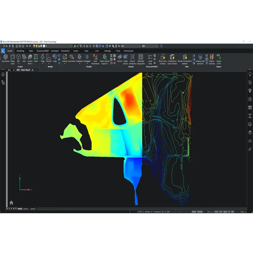
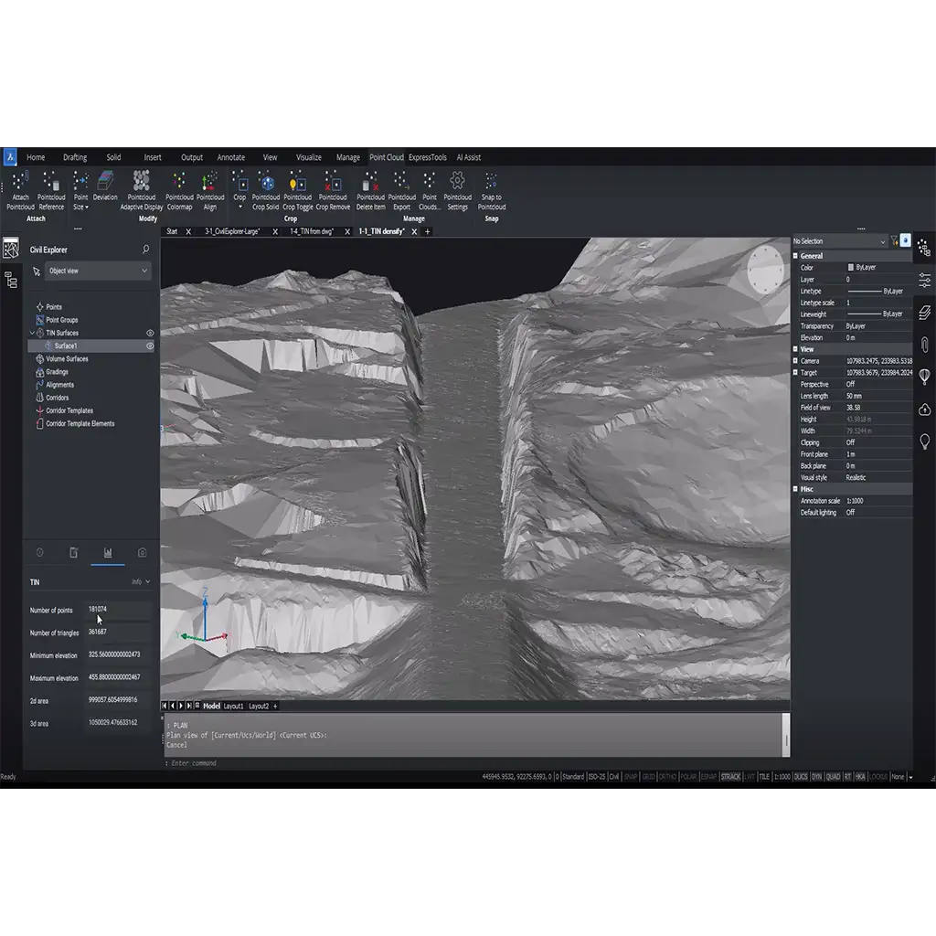
نرم افزار نقشه برداری MicroSurvey SurveyTools for BricsCAD ساخت ماکروسرویی کانادا با مشارکت Bricsys جهت پردازش ابرنقاط و مسیر پروژه در نقشه برداری می باشد.
SurveyTools for BricsCAD یک راه حل همه کاره برای بررسی گردش کار توسط MicroSurvey® است. راه حل ترکیبی شامل فناوری پیشرو از MicroSurvey، Bricsys و شریک مورد اعتماد صنعت، Leica Geosystems است. بهعنوان شرکتهای هگزاگون ، ما با هم کار میکنیم تا گردشهای کاری روزانه بین راهحلهایمان را افزایش دهیم. این نسخه SurveyTools برای BricsCAD پشتیبانی از جدیدترین و بهترین های Bricsys—BricsCAD V24 را برای شما به ارمغان می آورد. ما همچنین بسیاری از باگ های کاربردی و پشت صحنه را برطرف کرده ایم که باعث بهبود ثبات می شود.
MicroSurvey SurveyTools for BricsCAD V24 Release Notes
SurveyTools for BricsCAD V24
MicroSurvey SurveyTools for BricsCAD is an all-in-one solution for surveying workflows by MicroSurvey®. The combined solution includes leading technology from MicroSurvey, Bricsys and the trusted industry partner, Leica Geosystems. As Hexagon companies, we work together to enhance day-to-day workflows between our solutions. This release of SurveyTools for BricsCAD brings you support for the latest and greatest from Bricsys—BricsCAD V24. We have also fixed many functional and behind the scenes bugs which will improve stability.
What’s New in Version 24.0
Added support for the Australian MGA2020 coordinate system using the GDA2020 datum and GRS80 ellipsoid.
Updated the Coordinate system library parameters for Romania 70 and introduced the Hungary EOV (VITEL2014) system.
Bug Fixes
We have fixed the previously known issue where the same drawing is opened in two instances of SurveyTools for BricsCAD. We now warn the user the drawing is already open continue in read-only.
Auto Bearing – Distance would sometimes place labels off the line depending on the direction of the line.
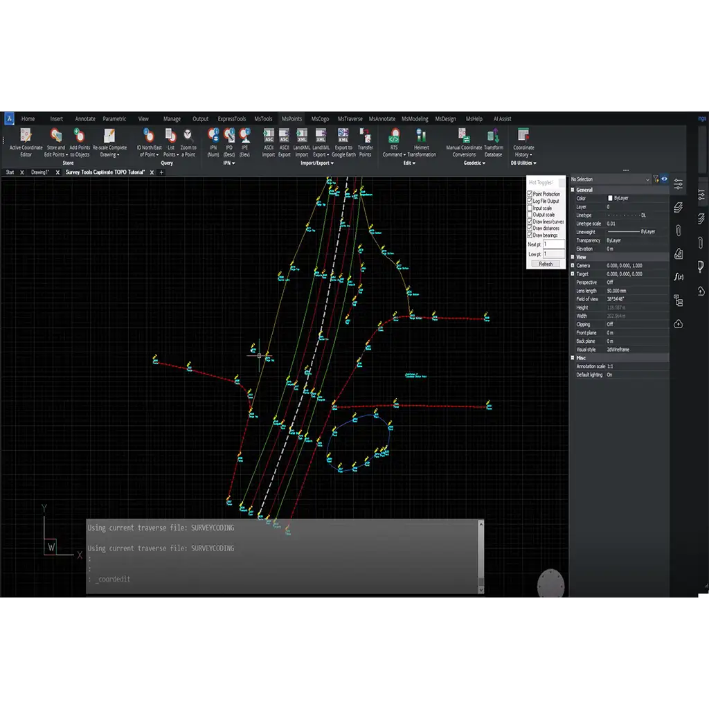
The Hot Toggles! Checkbox for point protection would not update after going through the Rotate Shift Scale (RTS) command.
The Fast Area command now always shows the perimeter and area on the command line, and when the output scale toggle is turned on, will include the scaled distances and areas.
The slidetext command now correctly sets the UCS to align with the line, move the label either in parallel with or orthogonally to the line, and return the UCS to the original setting.
Resolved a bug where moving labelled smart lines would cause the labels to be incorrectly positioned.
Resolved a bug where switching drawings and then editing a drawing would sometimes cause codebase errors.
Known Issues
MicroSurvey SurveyTools for BricsCAD has Several known issues are being addressed. Here is the list of the most common ones with workarounds:
Always use the Project Manager to create new drawings. There is a bug where we lose communication with the MicroSurvey Database when creating a drawing through File + New or the Quick New (+) button. This can be resolved by closing, then reopening the newly created drawing either through the Project Manager or the Start Page.
When MicroSurvey commands are added to tool palettes, the command icons do not display but the text labels do.
Changing the Visual Style between 2DWireframe and any other style, or any other style and 2DWireframe causes the Independent Point Numbers, Independent Point Descriptions, and Independent Point Elevations to no longer display until the drawing is saved, closed, and re-opened.
Sometimes the Independent Point Numbers, Descriptions, and Elevations will remain visible until the user pans or zooms when a layer containing points has been frozen or turned off.
Compatibility and Upgrades
MicroSurvey SurveyTools for BricsCAD will read and write to *.DWG drawing files and our *.MSZ database interchangeably with our other CAD products: MicroSurvey CAD, embeddedCAD, and inCAD. There are no compatibility issues or workarounds required to use saved MicroSurvey databases between these products. We have supported the *.MSZ format since 2008, and offer conversion utilities for older formats which are described here.
Civil 3D objects can be converted and imported into BricsCAD using the CIVIL3DIMPORT command.
Important Notes
MicroSurvey Subscription License
Existing SurveyTools for BricsCAD users with a current subscription license must enter their License ID and Password to run this version.
Each license has a different subscription plan, so multiple licenses may not have the same expiry date.
You can confirm your subscription expiry date by reviewing the About screen found on the Help ribbon.
If your subscription has expired, you can phone us at 1-800-668-3312 or 1-250-707-0000 to renew it. Without a current subscription plan, you will not be able to work with the new version.
MicroSurvey License Portal for Floating License Users
If you have purchased a floating license, you may visit microsurvey.com/license to review usage statistics on your license.
After purchase, you will be asked to create a login for the portal.
Log in to the portal, click “Licenses & Activations”, then the desired license to review its details.
Software Requirements
SurveyTools for BricsCAD V24 is compatible with 64-bit versions of Windows 8.1, Windows 10, and Windows 11 in 64-bit only.
Full administrator rights are required to install SurveyTools for BricsCAD V24, but it can be run by limited user accounts.
For detailed system requirements and recommendations, please review this online article.
SurveyTools for BricsCAD V24 requires that BricsCAD V24.1.05-2 or newer (but still V24) be installed already. If you do not currently own BricsCAD V24, you can register and download a 30-day trial here.
After BricsCAD V24 is installed, run the SurveyTools for BricsCAD executable to complete the installation. To launch SurveyTools for BricsCAD, simply run SurveyTools for BricsCAD from the desktop or start menu and BricsCAD will be run.
مشخصات فنی : MicroSurvey SurveyTools for BricsCAD
| برند | |
|---|---|
| کشور سازنده | کانادا |
برای نوشتن دیدگاه باید وارد بشوید.











دیدگاهی ثبت نشده.