مجله نقشه برداری GPS World

مجله نقشه برداری GPS World از سال 1989 در صنعت موقعیت یابی جهانی GNSS و ناوبری Navigation و زمان بندی PNT فعالیت خود را آغاز کرده است.
وب سایت ما ، gpsworld.com ، در سال 1998 با ارائه اخبار همانطور که اتفاق می افتد ، پوشش اطلاعاتی خود در رابطه با بروزترین تکنولوژی های موقعیت یابی جهانی GNSS / GPS را در اختیار کاربران قرار می داد.
GPS World Navigation ! خبرنامه الکترونیکی هفتگی برای اولین بار در سال 2007 ظاهر شد ، و خبرنامه ها را به راحتی به صندوق پیام های کاربران ارسال می کرد.
نسخه دیجیتالی و الکترونیکی از نسخه کامل چاپی این مجله ، در اواسط سال 2005 راه اندازی شد. کامل ، راحت (مبتنی بر مرورگر ، فاقد پرونده های اضافی یا بارگیری های اجباری) ، تعاملی (زنده ، قابل بزرگنمایی ، لمسی و با کلیک سریع در سایت های تبلیغی و سایر سایت های ارجاع شده) و قابل حمل – قابل حمل بودن مجله آن را برای خواندن و بایگانی آفلاین در رایانه آسان می سازد. . ما به ترتیب در سالهای 2012 و 2013 برنامه های اپل و اندرویدی از مجله نقشه برداری GPS World را معرفی کردیم.
میکروسایت های زیر مجموعه در بازار جهانی GPS جدیدترین ابزارها را برای متخصصان در هر زمینه فنی در رابطه با موقعیت یابی جهانی ، ناوبری و زمان بندی در اختیار کاربران قرار می دهند. برای دسترسی به این منابع منبع بسیار هدفمند و دقیق ، از زبانه ها در بالای صفحه اول سایت ما استفاده کنید.
GPS World Magazine بیش از یک مجله هست و در واقع یک سیستم انتشار اطلاعات سریع و مستقیم در زمینه نقشه برداری و ناوبری است.
برای نوآوری مداوم در ارائه جدیدترین ، جامع ترین اخبار مربوط به GPS / GNSS به مدیران شرکت های سطح بالا ، مدیران پروژه و مهندسی ، طراحان محصول ، محققان و توسعه دهندگان سیستم – که همه آنها هنگام تصمیم گیری در خرید GPS به سیستم ناوبری و موقعیت یابی جهانی متکی هستند، بازار 5.8 میلیارد دلاری را تحت پوشش قرار می دهیم.
یادداشتی در مورد نام مجله نقشه برداری GPS World
این یک جامعه جهانی GPS است. اما این مجله هرگز محدود به پوشش سیستم موقعیت یابی جهانی ایالات متحده نشده است.
ما همچنین توسعه GLONASS و Galileo ، WAAS ، LAAS ، NDGPS ، EGNOS ، خدمات تصحیح خصوصی ، MSAS ، QZSS ، Beidou ، GAGAN و GRAS را به صورت متمرکز پیگیری کرده ایم.
علاوه بر این کار سیستم های ماهواره ای ناوبری جهانی coordinates ، بسیاری از هموطنان را مورد بررسی قرار می دهیم ، فناوری هایی که GPS در تلاش خود برای دستیابی به دقت بیشتر ، در دسترس بودن ، یکپارچگی و استحکام بیشتر به همراه داشته است. در مجله نقشه برداری GPS World ما در حال صحبت کردن در مورد سنسورهای اینرسی ، LORAN-C ، لیزرها ، لامپ ، قطب نما الکترونیکی ، موقعیت یابی سیگنال سلولی ، موقعیت یابی سیگنال ویدیویی ، کیلومتر شمار ، سنسور سرعت چرخ ، باند پهن باند ، RFID ، بلوتوث ، DSRC و موارد دیگر هستیم.
اینها توجه ما را جلب می كنند زیرا GPS – به عنوان یك مفهوم در حال حاضر ، و نه فقط یك جلوه جسمی – به طرز بی رحمی و غیرقابل توصیفی در سراسر چشم انداز ، دریاها ، به فضای هوا و فضای بیرونی گسترش یافته است. این کشور با این فناوری ها به هم پیوسته است ، که توسط طراحان و مهندسان طراحی راه حل های جدیدی برای مشکلات چالش برانگیز در بازار طراحی شده است.
این صنعت و تکنولوژی هر کجا که می رود ، ما آن را دنبال می کنیم. به این دلیل است که همه ما برای پیگیری GPS / GNSS در حوزه تأثیر گسترده آن ، نیاز به درک و یا حداقل آشنایی با موضوعات پیچیده و ادغام شده داریم.
و از آنجا که روبرو شدن ما روزانه با این تکنولوژی افزایش می یابد ، خوانندگان GPS جهانی اکنون از همه بخش های پیشرفته تولید می شوند ، زیرا سایر صنایع می دانند که می توانند از موقعیت و زمان بندی دقیق استفاده کنند. با تشکر از نسخه دیجیتال ، همه خوانندگان واجد شرایط اکنون می توانند مجله نقشه برداری GPS World را مطالعه نمایید.
این مجله ارزشمند همتراز با سایر مجله های روز دنیا مانند مجله های GIM International , INSIDE GNSS می باشد و طرفداران و نویسندگان خاص خود را در زمینه بروزترین تکنولوژی های موقعیت یاب های جهانی دارد.
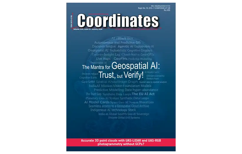
آخرین شماره از مجله نقشه برداری GPS World شامل نسخه الکترونیکی ماهانه به صورت PDF را می توانید بصورت رایگان از سایت disto.ir دانلود نمایید.
![]()


 January 2025
 February 2025
 March 2025
 April 2025
 May 2025
 June 2025
 September 2025
 October 2025
 January 2024
 February 2024
 March 2024
 April 2024
 May 2024
 June 2024
 July 2024
 August 2024
 September 2024
 October 2024
 November 2024
 December 2024
 January 2023
 February 2023
 March 2023
 April 2023
 May 2023
 June 2023
 July 2023
 August 2023
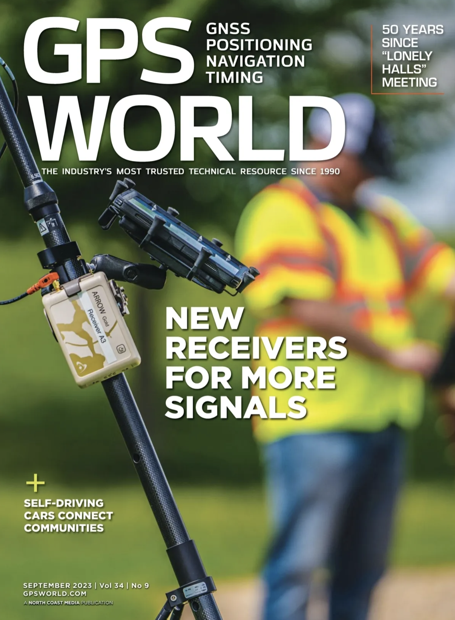 September 2023
 October 2023
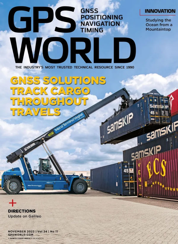 November 2023
 December 2023