
نرم افزار نقشه برداری استونکس Cube-aStonex cube-a
تماس بگیرید
ویژگی های کلیدی محصول
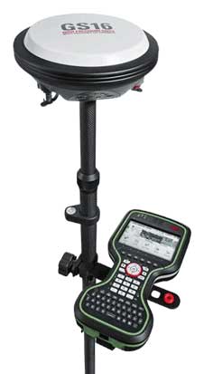
- نرم افزار مدیریت و کار با انواع گیرنده های GNSS استونکس
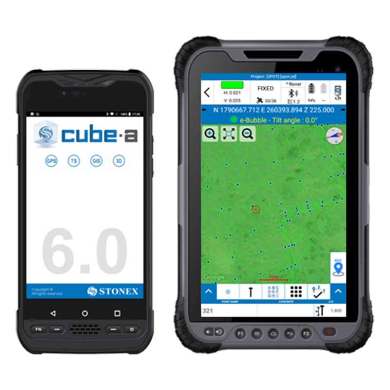
- سازگار با سیستم عامل آندروید
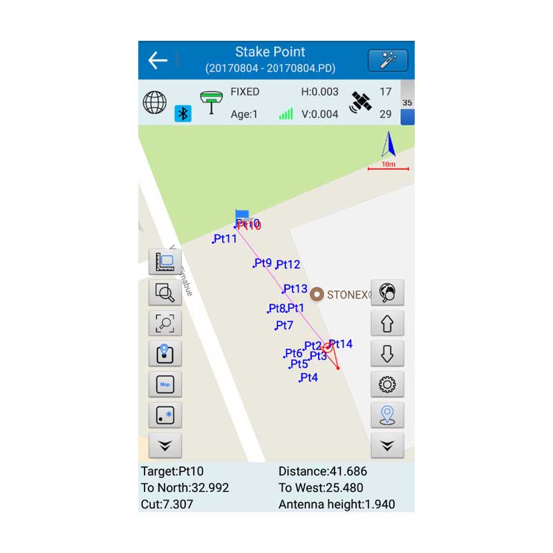
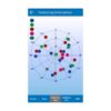
- انواع روش های برداشت و پیاده سازی
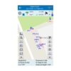
- نمایش نقشه Google و Open Street
- ورودی و خروجی داده ها در فرمت های بسیار متنوع
بررسی اجمالی محصول
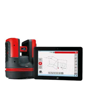
نرم افزار نقشه برداری استونکس Cube-a ساخت STONEX ایتالیا ورژن 6.0.9 برنامه ای اندرویدی برای مدیریت گیرنده های RTK GNSS و توتال استیشن و گیرنده های GIS می باشد و شامل انواع روش های برداشت ، پیاده سازی ، محاسبات و نقشه های گوگل و … می باشد.
نقد و بررسی : نرم افزار نقشه برداری استونکس Cube-a
نرم افزار نقشه برداری استونکس Cube-a توسعه داده شده توسط کمپانی ایتالیایی STONEX به منظور بهره وری بیشتر و افزایش کارایی گیرنده های GNSS پیشرفته و مولتی فرکانس خود، نرم افزار cube-a را منتشر نموده است.
این نرم افزار استونکس بر پایه پلت فرم آندروید طراحی شده است تا با همه گوشی ها، تبلت ها و دستگاه های با سیستم عامل Android سازگاری داشته باشد.
رابط کاربری جذاب، روش کارکرد بسیار آسان، سرعت اجرای بالا و روان بودن منوها و زیر برنامه ها را می توانید در همان لحظات نخست کار با نرم افزار تشخیص دهید.
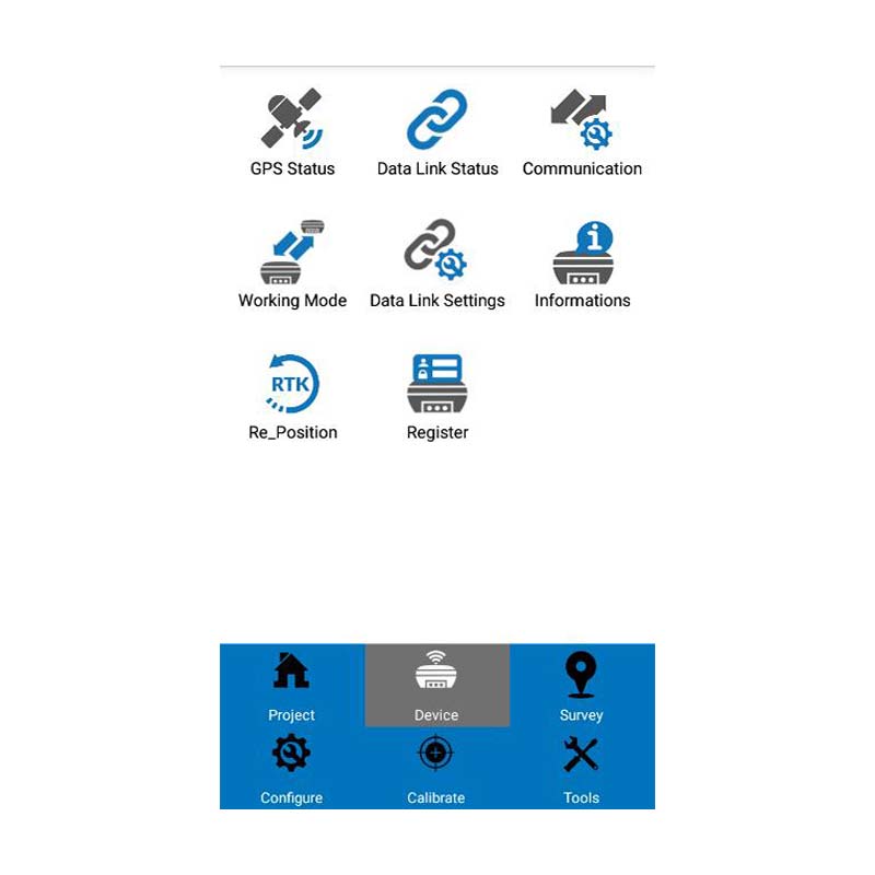
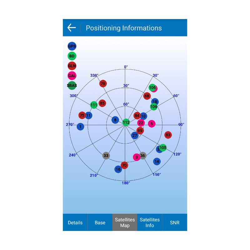
تعریف پروژه، نحوه اتصال به گیرنده، تعریف حالت های کارکرد، مشخص نمودن روش برداشت یا پیاده سازی و همچنین کسب اطلاعات مختلف از وضعیت گیرنده به ساده ترین شیوه ممکن انجام می شود.
نرم افزار استونکس cube-a بر حسب نوع گیرنده مورد نظر، برنامه ها و قابلیت های مورد نظر را فعال می نماید.
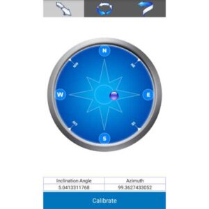
برای مثال، اگر گیرنده ای دارای حسگر تیلت باشد، امکان فعال سازی برداشت در حالت مایل نیز وجود خواهد داشت و به کاربر امکان کالیبره دستگاه و تست دقت کالیبره سنسور تیلیت را می دهد تا کاربر از دقت کالیبره سنسور دستگاه اطمینان حاصل نماید.
نرم افزار نقشه برداری استونکس Cube-a دارای انواع روش های برداشت، انواع روش های پیاده سازی (برای مثال پیاده سازی یک خط در حالت سه بعدی و انترپولاسیون ارتفاعی)، انواع محاسبات COGO و پشتیبانی از فرمت های بسیار متنوع ورودی و خروجی می باشد.
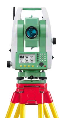
این نرم افزار قابلیت اتصال به توتال استیشن های روباتیک استونکس و همچنین توتال استیشن های منوال را دارد و کاربر می تواند با استفاده ازین نرم افزار به صورت تک نفره اقدام به برداست با تو تال استیشن روباتیک و موتورایز استونکس نماید.
ورژن جدید نرم افزار نقشه برداری STONEX Cube-a به تازگی منتشر گردیده است.
مشخصات فنی : Stonex cube-a
| برند | |
|---|---|
| کشور سازنده | ایتالیا |
برای نوشتن دیدگاه باید وارد بشوید.

دیدگاهی ثبت نشده.