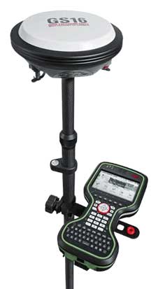
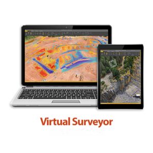
Virtual Surveyor کمپانی تولید کننده نرم افزار نقشه برداری پردازش داده های مکانی سه بعدی برداشتی پهپاد جهت محاسبه احجام سه بعدی زمینی و فتوگرامتری می باشد.
ماموریت کمپانی Virtual Surveyor
ما به جهانی اعتقاد داریم که نقشه برداران کنترل کاملی بر سایت های خود دارند – جایی که افراد و هواپیماهای بدون سرنشین با کارایی یکپارچه کار می کنند … جهانی که شما در آن قدرت ایجاد تغییر را دارید.
دید آینده کمپانی ویرچوال سرویر
شما کنترل داده های خود را دارید …
داده ها شما را کنترل نمی کنند.
شما قادر به اندازه گیری و تجزیه و تحلیل هستید …
سایت شما اکنون روی دسک تاپ شما قرار دارد.
شما قادر به دسترسی به پروژه خود هستید …
بدون تلاش ، داده ها را به اشتراک بگذارید.
شما کنترل ابزارهای مورد نیاز خود را دارید …
طرحی را انتخاب کنید که متناسب با نیازهای متغیر شما باشد.
Our mission in Virtual Surveyor
We at virtual surveyor company believe in a world where surveyors are in full control of their sites… where people and drones operate with seamless efficiency… the world where you have the power to make a change.
Our vision in Virtual Surveyor
You are in control of your data…
Data does not control you.
You are in control when to measure and to analyze…
Your site is now on your desktop.
You are in control who can access your project…
Share the data, without effort.
You are in control on what tools you need…
Choose the plan that fits your changing needs.
TOPOGRAPHIC SURVEYS
Land surveyors scan the terrain they want to measure and map specific break lines and points that describe the topography in the most realistic manner.
Create surveys, surfaces and contours
EARTHWORKS
Keep track of your earthworks project with multiple drone surveys. Compare with your baseline or design surface and determine how much work needs to be done.
Create cut/fill maps and calculate volume differences
STOCKPILE VOLUMES
Virtual surveyor quantity surveyors generate complex reference surfaces to assess stocks in an accurate and repetitive way.
Remove conveyors and calculate volumes
PRODUCTIVITY TOOLS
Combine the power of your brain to interpret complex topographies with the calculation power of the computer to create drone surveys in very short times.
Start increasing your productivity
THE DRONE MAPPING WORKFLOW
A survey with a drone adds additional complexity to your workflow. It is important to understand where you are as a surveyor in the entire workflow.