

درباره کمپانی Esri
Esri – ما کی هستیم؟
ما پیشرو در بازار جهانی در GIS هستیم که از سال 1969 به مشتریان کمک می کند تا نتیجه بگیرند
ما اقدام می کنیم!
Esri برای کمک به حل برخی از دشوارترین مشکلات جهان تأسیس شد. ما این کار را با پشتیبانی از کارهای مهم کاربران خود با تعهد به علم ، پایداری ، جامعه ، آموزش ، تحقیق و تحولات مثبت انجام می دهیم.
خلاقانه
امروز ، نرم افزار Esri در بیش از 350،000 سازمان از جمله بزرگترین شهرهای جهان و بیشتر دولت های ملی مستقر شده است.
کاربر محور
ما متعهد هستیم که به کاربران و مشتریان خود خدمت کنیم. ما به دنبال درک عمیق از چالش ها و فرصت های آنها هستیم و در کنار هم به سمت راه حل های مناسب کار می کنیم.
پژوهش محور
ما بیش از 30٪ از درآمد سالانه خود را صرف تحقیق و توسعه می کنیم. این همان قدر است که ما به پیشرفت و شکل دادن به آینده سیستم های اطلاعات جغرافیایی (GIS) اعتقاد داریم.
ما یک شرکت جهانی هستیم
Esri با داشتن 49 دفتر در سراسر جهان و کارمندان 73 کشور جهان ، یک شرکت جهانی است. شرکت های نرم افزاری محلی در سراسر جهان چندین دهه تجربه منطقه ای و تخصص عمیق در مسائل محلی دارند. 11 مرکز تحقیقاتی اختصاصی در حاشیه نوآوری جهانی قرار دارند.
آنچه انجام می دهیم
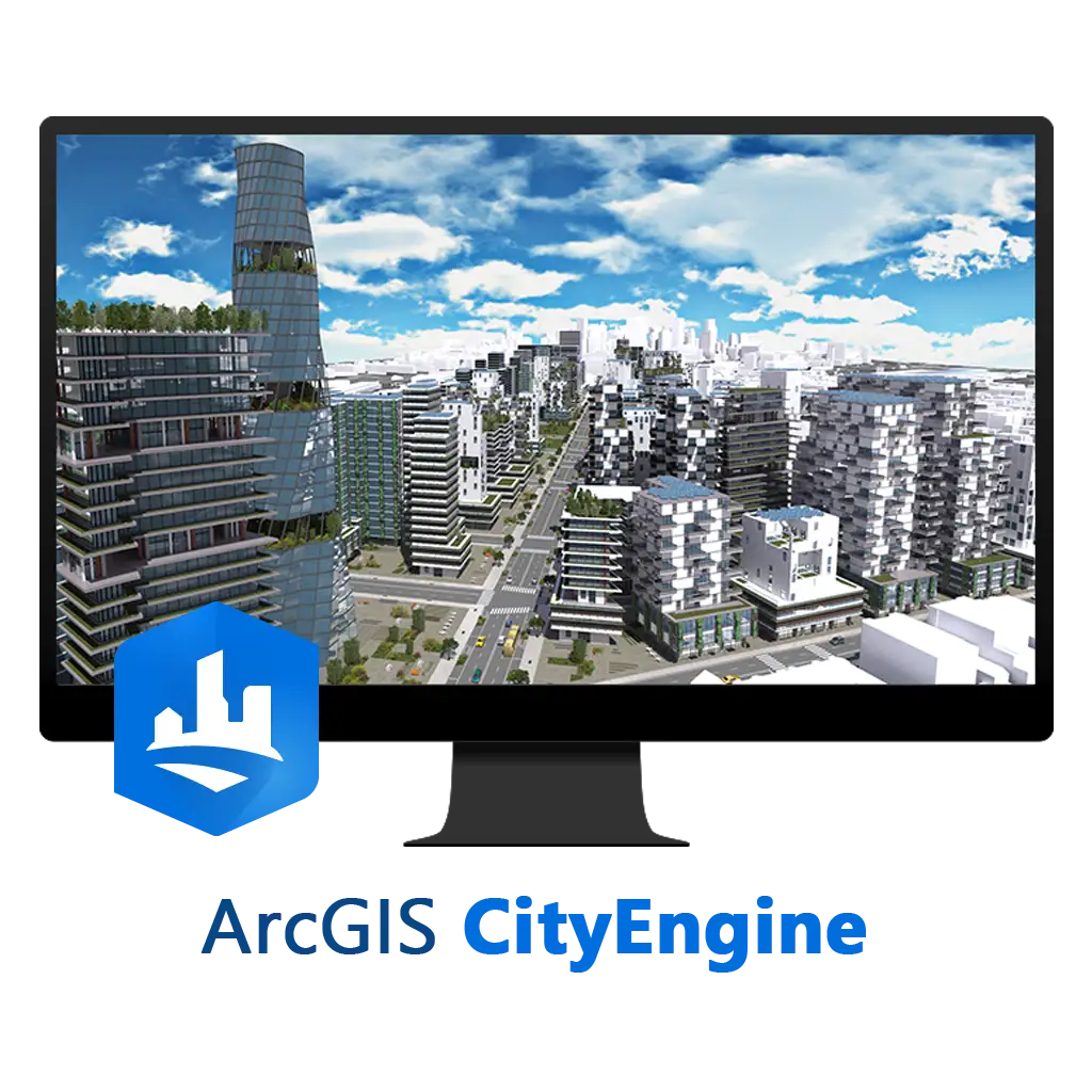
ما ArcGIS ، قدرتمندترین نرم افزار نقشه برداری و تجزیه و تحلیل مکانی جهان را ساختیم.
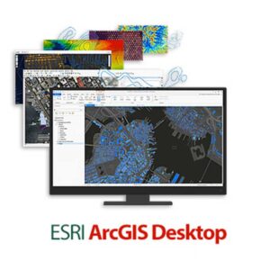
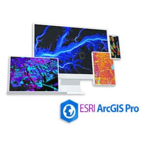
ArcGIS چیست؟
نرم افزارها و برنامه های ArcGIS نقشه برداری و تجزیه و تحلیل داده ها را برای ارائه اطلاعات موقعیت مکانی و پاسخگویی به نیازهای دگرگونی دیجیتال برای سازمانهایی در هر اندازه ، ترکیب می کنند.
تجاری
مشاغل برای تعیین مکانهای جدید ، درک مشتری و دیدن روندهای رشد در زمان واقعی به ArcGIS متکی هستند.
صنایعی را که ما از آنها پشتیبانی می کنیم مشاهده کنید
دولت
دولت ها در همه سطوح به ArcGIS اعتماد می کنند تا اجتماعات خود را باهوش تر ، ایمن تر و از نظر اقتصادی با دوام بیشتری به دست آورد.
بیاموزید که چگونه به دولتها کمک می کنیم
ساخت
ArcGIS به تولید کنندگان این امکان را می دهد که فروش خود را براساس منطقه ، تجزیه و تحلیل عملکرد کانال های فردی و مدیریت موجودی ها انجام دهند.
ببینید که چگونه ما به تولید کنندگان کمک می کنیم
خدمات رفاهی
از محافظت از خدمه گرفته تا رضایت مشتری ، برنامه های کاربردی ArcGIS را برای کاهش ریسک از طریق یک تصویر عملیاتی واضح و واقعی در زمان واقعی استفاده می کنند.
علم از کجا می آید؟
آمیختن علم جغرافیا و فناوری GIS.
چرا این کار را می کنیم؟
ما اعتقاد داریم که اطلاعات موقعیت مکانی پتانسیل داده ها را در هر سازمان باز می کند
کاربران Esri نقشه هایی را ایجاد می کنند که جهان را اداره می کنند
ما با قدرتمندترین فناوری نقشه برداری و فناوری تجزیه و تحلیل مکانی موجود ، سازمانها را در همه جا پشتیبانی می کنیم. ArcGIS یک روش علمی مبتنی بر حل مشکلات در زمان واقعی به کاربران اسری ارائه می دهد.
ابتکارات
حفاظت
ما به یک سیاره پایدار اختصاص داده شده و در راه حل هایی سرمایه گذاری کرده ایم که به کسانی که از زمین محافظت می کنند و از مراقبت از آن دفاع می کنند ، کمک می کنیم.
تحصیلات
ما ArcGIS را در هزاران کلاس درس قرار می دهیم تا مربیان بتوانند مهارت های زمین شناسی دانش آموزان ، تفکر انتقادی و آگاهی مکانی را پرورش دهند.
پایداری
ما علاقه مند به کمک به کاربران خود برای مقابله و حل مهمترین مسائل جهان از فقر گرفته تا عدم امنیت غذایی هستیم.
اجتماعات هوشمند
فن آوری Esri همکاری ، نوآوری و تحول دیجیتالی را در جوامع سراسر جهان هدایت می کند.
Who We Are
We are the global market leader in GIS, helping customers get results since 1969
We take action
Esri was founded to help solve some of the world’s most difficult problems. We do so by supporting our users’ important work with a commitment to science, sustainability, community, education, research, and positive change.
Innovative
Today, Esri software is deployed in more than 350,000 organizations, including the world’s largest cities and most national governments.
User-centric
We’re committed to serving our users and customers. We seek a deep understanding of their challenges and opportunities, and work together toward viable solutions.
Research-driven
We spend more than 30% of our annual revenue on R&D. That’s how much we believe in advancing and shaping the future of geographic information systems (GIS).
We are a global company
With 49 offices worldwide and employees from 73 countries, Esri is a global company. Locally-owned software companies across the world have decades of regional experience and deep expertise in local issues. 11 dedicated research centers are at the leading edge of global innovation.
What We Do
We build ArcGIS, the world’s most powerful mapping & spatial analytics software.
What is ArcGIS?
ArcGIS software and apps combine mapping and data analytics to deliver location intelligence and meet digital transformation needs for organizations of all sizes.
Commercial
Businesses rely on ArcGIS to determine new locations, understand customers, and see real-time growth trends.
View industries we support
Government
Governments at all levels trust ArcGIS to make their communities smarter, safer, and more economically viable.
Learn how we help governments
Manufacturing
ArcGIS empowers manufacturers to see sales by region, analyze the performance of individual channels, and manage inventories.
See how we help manufacturers
Utilities
From safeguarding crews to satisfying customers, utilities use ArcGIS to mitigate risk through a clear, real-time operational picture.
The Science of Where
Blending the science of geography and the technology of GIS.
Why We Do It
We believe location intelligence unlocks data’s potential in every organization
Esri users create maps that run the world
We support organizations everywhere with the most powerful mapping and spatial analytics technology available. ArcGIS provides Esri users with a scientific-based approach to solving problems in real time.
Initiatives
Conservation
We’re dedicated to a sustainable planet and invest in solutions that help those who protect the earth and advocate for its care.
Education
We place ArcGIS in thousands of classrooms to help educators cultivate students’ geoscience skills, critical thinking, and spatial awareness.
Sustainability
We’re passionate about helping our users confront and solve the world’s most pressing issues—from poverty to food insecurity.
Smart communities
Esri technology drives collaboration, innovation, and digital transformation in communities around the globe.